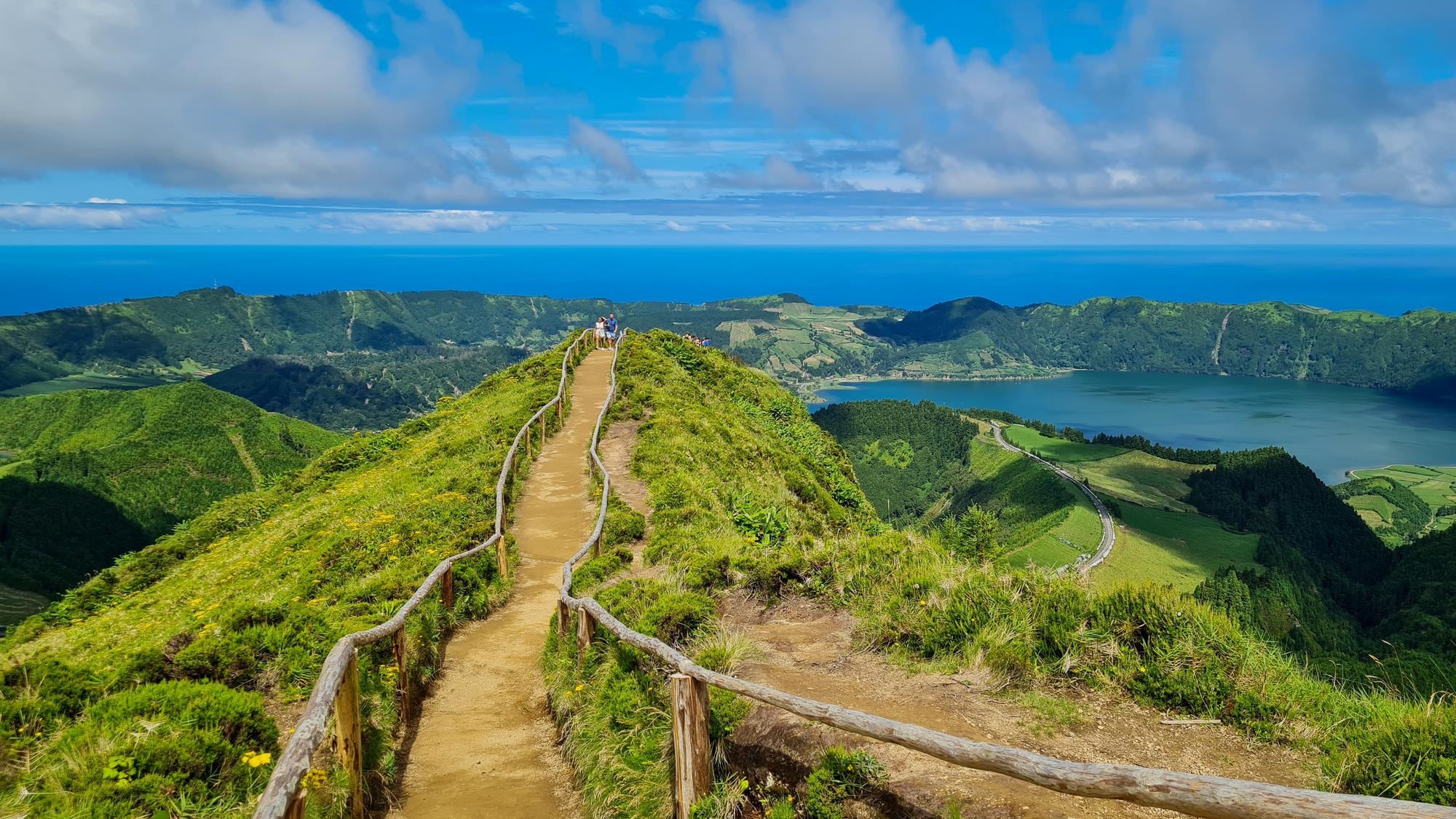
Ah… the Azores ! An archipelago that dreams are made of for nature lovers seeking authenticity. Between dormant volcanoes, serene lakes and cliffs plunging into the Atlantic, hiking here takes on an almost mystical dimension. We invite you to explore some of the archipelago’s most exceptional trails, where every step tells a geological, ecological and human story.
Why choose the Azores for hiking?
The Azores boast several rare advantages:
Remarkable volcanic geology : crater lakes, calderas (these large volcanic cauldrons), and basalt lava flows.
Lush, dense nature : with laurissilva forests (a type of subtropical forest), tree ferns and abundant vegetation.
Steep coasts and fajãs : coastal terraces formed by landslides or volcanic flows, typical of the archipelago.
Variable weather : each hike is unique, with frequent changes in conditions.
Official trail network : the “Trilhos dos Açores” system has more than 80 signposted paths.
In short, the Azores are perfect for those who want to combine nature, contemplation, and discovery !
Useful information
The official hiking trail network (“trilhos/percursos pedestres dos Açores”) features at least 96 certified routes as of 2025, totalling around 838 km of marked paths.
The Azores Regional Government regularly monitors trail conditions and temporarily closes dangerous or degraded areas when necessary. We recommend checking real-time access points on the official Azores trails websit.
Three flagship hikes : volcanic lakes and cliffs
1. Sete Cidades caldera loop (São Miguel Island)
- Distance : approximately 19.8 km (circular route)
- Duration : around 5h30
- Elevation gain : around 630m
This is the iconic hike of São Miguel ! Starting from the Miradouro da Vista do Rei, you will discover the twin lakes : Lagoa Azul and Lagoa Verde. These lakes, nestled in an ancient crater, offer unforgettable scenery. The trail provides successive viewpoints over the lakes, the Atlantic Ocean, and surrounding hills. At times, a veil of clouds covers one of the lakes, enhancing the magical atmosphere.
Highlights: constant panoramic views, diverse landscapes, forest crossings, and crater rims.
Note : direct access to Lagoa do Fogo is closed at certain points to protect the ecosystem.
2. Hike to Lagoa do Fogo (São Miguel Island)
- Distance : approximately 10.9 km round trip
- Duration : 3 to 4 hours
- Elevation gain : around 500 m
This route traverses wild landscapes: forested areas and semi-open zones that lead to one of the Azores’ most picturesque lakes : Lagoa do Fogo. The turquoise waters contrast with the dense surrounding vegetation, creating a breathtaking panorama.
Tip : start early in the morning to enjoy soft light and avoid clouds that often appear around midday.
3. Flores, volcanic craters and lakes on the “flower island”
Flores, also known as the “island of flowers”, is a volcanic gem. The island’s centre is dotted with volcanic cones and craters transformed into lakes (calderas), all framed by steep cliffs and lush slopes.
Among these lakes are Caldeira Funda, Caldeira Rasa, and Caldeira Negra, true oases suspended in greenery.
Hikers can also admire the Rocha dos Bordões, towering basalt columns resembling natural organs carved into black rock.
On Flores, the contrast between still waters, volcanic ridges, and cliffs plunging into the Atlantic creates a feeling of remoteness… truly a magical landscape.

©altaïTravel
Practical tips for a successful hike
Choosing the right time
The best season is May to October, when weather conditions are more stable and rainfall is lower.
In autumn and winter, off-season rain may render some trails slippery or impassable.
Always check local weather forecasts; in the Azores, conditions can change rapidly, with clouds often rising by the afternoon.
Recommended equipment
Sturdy hiking shoes with good grip (essential to avoid slips)
Light waterproof jacket or windbreaker, especially near ridges or cliffs
Water bottles and energy bars/snacks (hydration is crucial)
Headlamp or torch if starting before dawn
Trail map or GPS app (“Trilhos dos Açores”)
Layered clothing, as temperatures vary with altitude
Safety & good practices
Stay on marked trails ; avoid sensitive areas
Exercise caution near cliffs; slips can be hazardous
Beware of tunnels or dark passages on some trails
Respect nature: take your litter with you
Share your itinerary if hiking alone or in remote areas
Who are these trails for ?
These routes are suitable for hikers with moderate fitness levels, who enjoy wild landscapes without requiring technical difficulty. They are well-balanced hikes : reasonable effort, rewarding views, and full immersion in nature.
Shorter variants or partial sections can accommodate semi-beginners, allowing everyone to experience the trails at their own pace.
How to enhance the experience ?
Enjoy a picnic in exceptional settings, e.g., by the Sete Cidades lakes or halfway along the Lagoa do Fogo trail.
Take a swim in permitted lakes to deepen your connection with nature; pack swimwear.
Photographers should go early or late in the day : golden light, mist over lakes, and contrasts are spectacular.
Bring a notebook for notes or sketches; these landscapes leave a lasting impression.
If hiking with a guide or in a group, you’ll discover geological, biological, and cultural stories along the way.
Why these hikes leave a lasting impression ?
These trails intersect several worlds.
Geological : extinct volcanoes, crater lakes, lava flows, basalt cliffs
Hydrological : suspended lakes, springs, underground streams
Botanical : endemic forests, tree ferns, typical hydrangeas
Human : Azores history, coastal villages, volcanic legends
Each step unveils a layer of this complexity; walking here is like reading pages of the island’s story.
The Azores are more than a hiking destination : they are a living natural laboratory, a constant spectacle. Volcanic lakes and cliff trails combine effort, breathtaking scenery, cultural discovery, and fascinating geology. With proper planning and equipment, you’ll return not just with stunning images, but with a deep immersion in the nature, history, and life of this sublime archipelago.
Share this article
Suggested articles
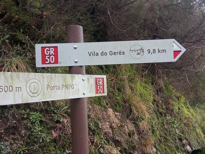
Hiking in Peneda-Gerês National Park
Nestled between the mountains of the Serra da Peneda and Serra do Gerês lies Peneda-Gerês National Park, the only national park in northern Portugal! Recognised as a UNESCO Biosphere Reserve, it represents a model of nature conservation combined with sustainable development.
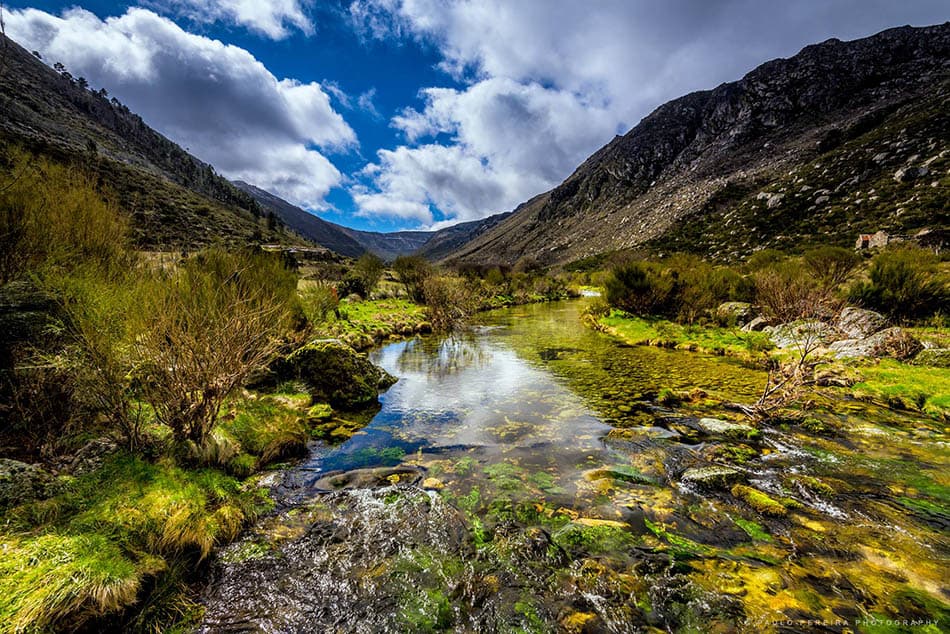
Serra da Estrela, High-Altitude Hiking in Portugal
Serra da Estrela is the highest mountain range in mainland Portugal, with Torre (its peak) reaching 1,993 metres. Located in the country’s centre, this region offers unexpectedly stunning landscapes. Here, glacial valleys, mountain lakes (frozen in winter), pine forests, and granite villages create a scene of remarkable beauty.
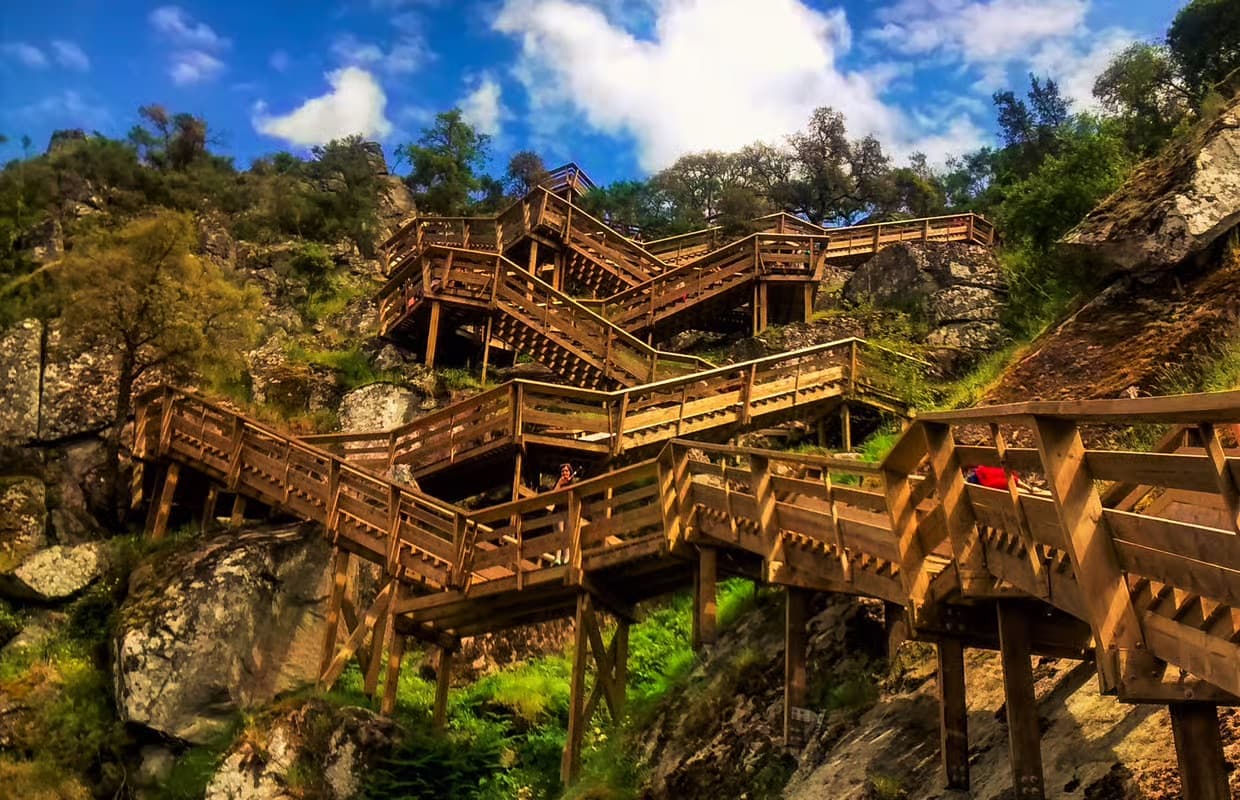
Paiva Walkways, Spectacular Wooden Pathways in Arouca
In the heart of Portugal, there is a place where nature becomes a spectacle at every step. A suspended path between sky, mountain and river, shaped by time and the hand of man. This extraordinary location is known as the Paiva Walkways (“Passadiços do Paiva”), situated in the municipality of Arouca. Unlike any ordinary hike, it has become a symbol of a wild and genuine Portugal, deeply connected to the beauty of its landscapes. A must-visit destination, especially since the opening of the Arouca 516 bridge experience !
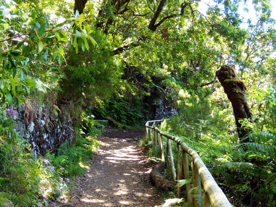
Madeira island, the 25 Fontes hike
If there is one hike in Madeira island you shouldn’t miss, it is undoubtedly the 25 Fontes trail… Between lush forests, small waterfalls, birdsong and an atmosphere of mysterious woodland, this hike offers an experience that perfectly sums up what Madeira is: an island brimming with resources, combining rich nature, spectacular water displays, and total immersion. This trail is among the most famous on the island, attracting nature lovers for its scenery and unique ambience ! Here’s everything you need to know to prepare, enjoy, and avoid any pitfalls…
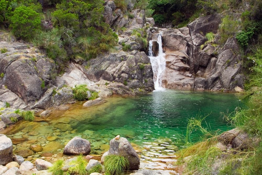
Hiking in Peneda-Gerês National Park
In the far north of Portugal lies a place where nature still seems to speak the language of wind and stone. A land where mountains breathe, and every trail tells a story carved through millennia.
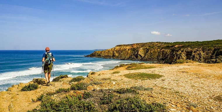
Rota Vicentina, The Wild Trail Along the Atlantic
Stretching over 400km of coastline in southwest Portugal, the Rota Vicentina offers hikers total immersion in breathtaking natural scenery. Often referred to as the “wild trail of the Atlantic”, it is undoubtedly one of the most spectacular hiking routes in the country. Dramatic cliffs, hidden beaches, and picturesque villages line the way, all accompanied by the ever-present sound of the Atlantic Ocean.


